

William Dargue A History of BIRMINGHAM Places & Placenames from A to Y
Catchems Corner
B6 - Grid reference SP079889
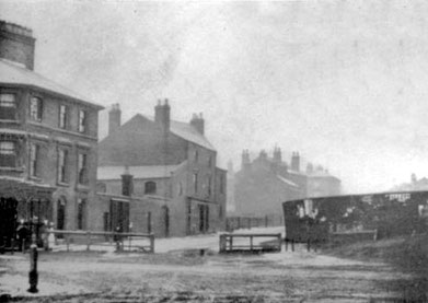
There are a numbers of Catchem/s Corners in the country, including locally in Wolverhampton and Balsall Common. These were nicknames usually for tollgates on the turnpike roads where a fee had to be paid by travellers to the gatekeeper who would 'catch'em'. This Catchems Corner was the popular name of the tollgate at the junction of the Lichfield Road with Park Lane and Rocky Lane at Aston Cross.
The Lichfield Road was part of a route dating from medieval times which linked Bristol and Worcester to Lichfield and the North-East and was known as 'one of the four great roads of England'. The Lichfield Turnpike was created in 1807. The next tollgate was at Cuckoo Lane only a mile further north. The road was disturnpiked in 1862 when responsibility for its upkeep fell to the Warwickshire County authorities.
William Dargue 24.05.2016