

William Dargue A History of BIRMINGHAM Places & Placenames from A to Y
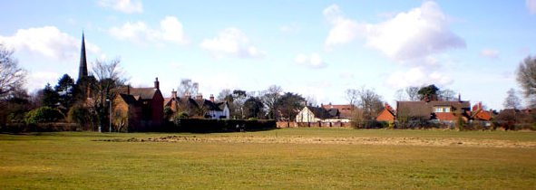
Church End, Yardley
B25 - Grid reference SP134863
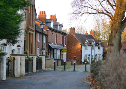
As a relatively large manor, some 12 miles long by 7 miles wide, Yardley was divided into three adminstrative districts or ends from Elizabethan times. However, the use of the name Church End was probably in use well before that. This end was focussed around Yardley church and village and lay north of the Coventry Road within a great crook of the River Cole to the west and north. The name is no longer in use.
William Dargue 01.08.2010