William Dargue A History of BIRMINGHAM Places & Placenames from A to Y
Lower Shenley/ Shenley Green
B29 - Grid reference SP019809
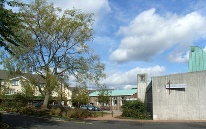
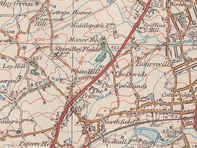
Shenley Green or Lower Shenley was the location of Shenley Fields Farm/ Lower Shenley Farm. It is now the site of St Davids' Church on Shenley Lane.
See Shenley.
William Dargue 04.04.2009
For 19th-century Ordnance Survey maps of Birmingham go to British History Online.
Map below reproduced from Andrew Rowbottom’s website of Old Ordnance Survey maps Popular Edition, Birmingham 1921. Click the map to link to that website.