William Dargue A History of BIRMINGHAM Places & Placenames from A to Y
Kings Vale
B44 - Grid reference SP087947
Google Maps - If you lose the original focus of the Google map, press function key F5 on your keyboard to refresh the screen. The map will then recentre on its original location.
For 19th-century Ordnance Survey maps of Birmingham go to British History Online.
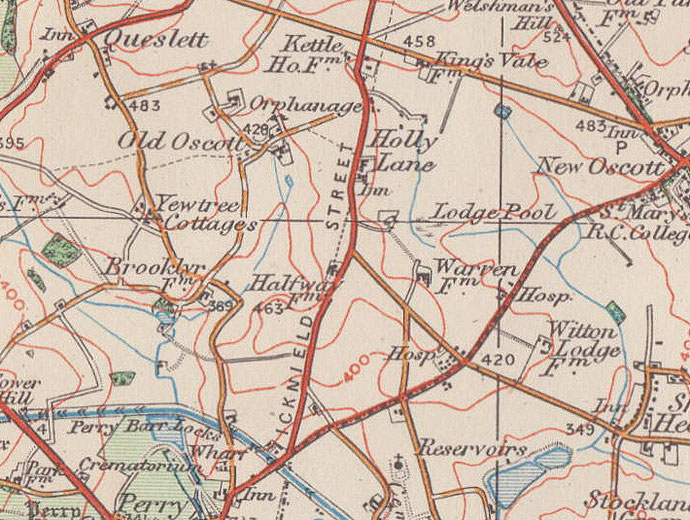
Map below reproduced from Andrew Rowbottom’s website of Old Ordnance Survey maps Popular Edition, Birmingham 1921.
Click the map to link to that website.