

Springfield
B13 - Grid reference SP097815
This self-explanatory name derives from a medieval holy well or spring which emerged from the ground somewhere on the slope between Springfield Road and the River Cole. The water was believed to be a cure for eye ailments. (See also Spring Hill.)
The district of Springfield lies at the southern end of Springfield Road. It is a name that currently has limited use, the area being considered part of Sparkhill.
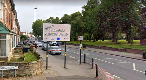
Recently the name has been revived by the City Council and the run of shops on the Stratford Road between Hillfield Road and Knowle Road has been designated Springfield Shopping Parade.
William Dargue 07.03.09/ 09.01.2021
For 19th-century Ordnance Survey maps of Birmingham go to British History Online.
Map below reproduced from Andrew Rowbottom’s website of Old Ordnance Survey maps Popular Edition, Birmingham 1921. Click the map to link to that website.
