

William Dargue A History of BIRMINGHAM Places & Placenames from A to Y
Round Hill/ The Round Hill/s
B6 - Grid reference - SP076887
The manor of Aston lies on an east-west ridge of higher ground lies between Hockley Brook/ The Bourn/ Aston Brook to the south and an unnamed tributary of the Tame to the north; both brooks are now largely culverted beneath the streets. On a high point at the east end of the ridge stands Aston Hall.
The area between what is now New Town Row and Aston Road was known as (The) Round Hill/s. Its first mention is probably when the land was sold as an estate in 1596 by Sir Thomas Holte to Roger Pemberton, a Birmingham goldsmith. In a deed of 1795 Near Round Hill and Far Round Hill (probably field names) are referred to, so-named presumably with reference to Aston Hall.
Round Hill later seems to have been used as the name of the hamlet and may have been a streetname, possibly the lower end of Sutton Street, until the mid-19th century. The 1841 census lists some 30 dwellings and a population of about 150 of whom over half were born outside Warwickshire. There was a surprising diversity of occupations and of wealth here.
People were involved in a variety of working-class jobs such as washerwomen, metal workers, workers in the gun trade, bricklayers, a sawyer and a saddler . There were 17 servants living here, some apparently in boarding houses, but eight of the households had their own servants living in. Middle class occupations included an attorney, an iron founder, an engineer, an engraver and a cheese factor. There were a number of residents with servants who were living on independent means.
By 1891 the name existed only as a house name, Round Hill Cottage in Cheshire Street. That street is now gone, but it lay just north of Pool Street.
There appear to have been two Round Hills. The one is a little to the south of the former, lying between Miller Street and Brewery Street. It is shown on Blood's map of 1857. Land here belonging to the Keirle family is recorded in 1590.
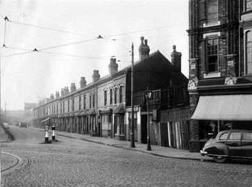
Before the mid-19th century the round hill features must have been obvious along the Aston ridge. With the area now completely built up it is difficult to identify such a feature.
Below the hill was Aston Brook Mill, south of Phillips Street. Its site now lies beneath the Aston Expressway. It may have started life as a corn mill, but is recorded in the mid-16th century as a fulling mill, reverting by the end of the 18th century to grinding corn. It was variously known as Bourn Work Mill, Gisbourn's Mill and Hooper's Mill.
By 1830 the mill was powered by steam for cutting timber, while water power was still for grinding corn. The mill was badly damaged by fire in 1862 and its buildings were demolished shortly afterwards to make way for housing.
William Dargue 13.10.2008/ 26.07.2015